Etajima 江田島
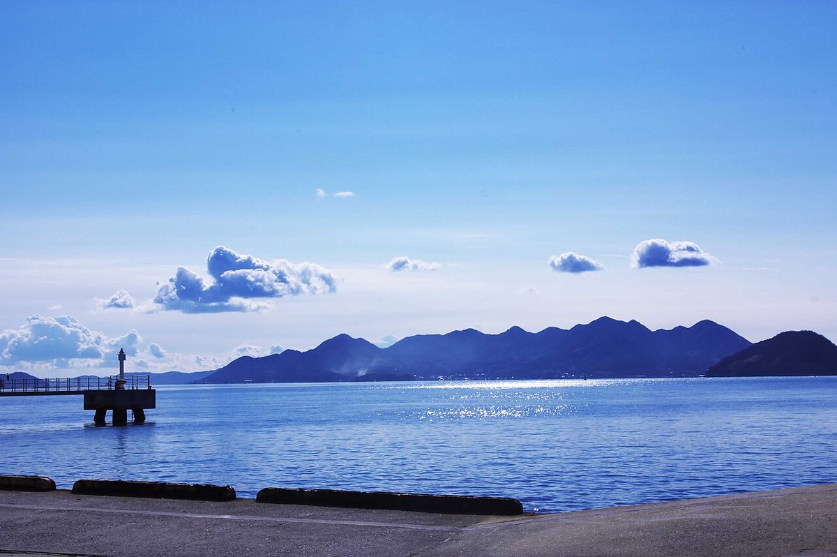

| Island group | Hiroshima Bay |
|---|---|
| Prefecture | Hiroshima |
| Region | Chugoku |
| Municipality | Etajima |
| Area | 91.32 km² (35.3 mi²) |
| Highest point | 400 m |
| Coordinates | 34.24638° N, 132.47796° E |
Getting there: the article below outlines this island's usual ferry and flight routes. Timetables change with the season and sailings are cancelled in rough weather — always confirm the current schedule with the operator or the municipality before you travel.
The neighboring Mishima-Ekishima-Ekishima-Ekishima-Ekishima) is one of the islands of Y in a series of landforms.
Overview
It's located south of Hiroshima, west of Wu. From the root of the Y type, the northernmost is Ekumishima and the east is Etajima. Akishima and Etajima were originally separate islands and separated by a narrow ocean channel called Fyse. Later, this strait was buried, but it still remains the name of the place of Otsushima. Since the naval school was transferred from Tokyo in 1888, it has been recognized as an island of naval currents, and Etajima has become the substitute noun for naval school. Even after the Japanese Navy was decommissioned, there are still at sea's 1st Academy of Self-Sacrifice and the US Self-Safe Reservation School. The Etajima Village was a city run on October 1st, 1951. Along with Akishima and Kurahashi-jima, it is home to important seaweeds and seaweeds, such as the Amazon, and it has a wide range of marine life. In recent years, it has been observed that the entire environment and ecosystem of Hiroshima bays is improving, and there are such valuable creatures as Hastensiotiki, Hamazi, and Kabutani on the swamps that Snameli has also come to be around Etajima.
Traffic
447 national road. The main port - there are no regular flights to port after April 1, 2012. It's connected to the port of Hiroshima.
Text adapted from the Japanese Wikipedia article 江田島, whose full text was translated into English for this guide by its contributors, licensed CC BY-SA 4.0. Population, area and location facts from Wikidata (CC0); figures Wikidata does not carry are taken from the Japanese Wikipedia article's data table (CC BY-SA 4.0).