Uguru Island 鵜来島
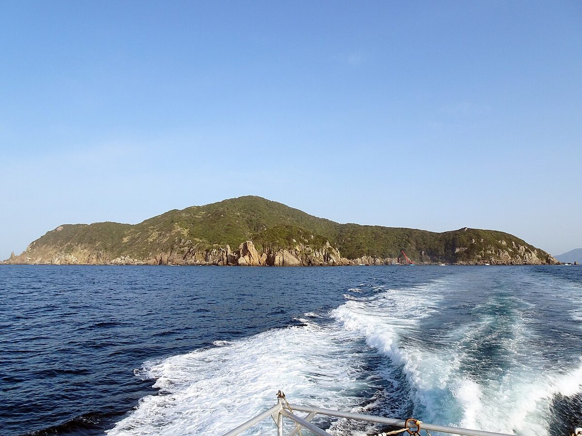

| Island group | Sukumo Islands |
|---|---|
| Prefecture | Kochi |
| Region | Shikoku |
| Municipality | Sukumo |
| Area | 1.30 km² (0.50 mi²) |
| Highest point | 252 m |
| Coordinates | 32.80194° N, 132.49° E |
Getting there: the article below outlines this island's usual ferry and flight routes. Timetables change with the season and sailings are cancelled in rough weather — always confirm the current schedule with the operator or the municipality before you travel.
Uguru Island is an island on the Pacific Ocean, off the coast of Kochi. It is designated as the National Park of the Sea of Japan.
Overview
It's located about 20 miles off the coast of Akira. The area is 1.31 square kilometers. Six and a half kilometers around. The highest point is Dragon Head Mountain at an altitude of 252 meters. There's a lot of cliffs on an island on the Shiba Peninsula, about 100 million years ago, consisting of subsidic rocks. The administrative section belongs to the city of Kochi. The settlement is only one of the Uguru Island districts. Houses are built on the slope of the mountain, and there is no road for cars on the island. So there's no car at all. There are Okinoshima station contacts and fishing cooperation. The population is 18 (as of October 2023). Uguru Island elementary school during school break-out is used as a community center. There's no clinic. The doctor patrols regularly. It's a popular island for fishing and Marin sports. There are no stores, no food, no food. There is only one bottle-sharing machine on the island.
History
It is estimated that people began to live in Kamakura from the time they were in the room town. Iseshima was a member of the Iseshima government and had a history of being in exile like political prisoners. In the Meiji era, you will be transferred to Okinoshima213X along with neighboring ZX97XZQ213X. In the Pacific War of the Showa, the base of the Okinoshima area can be built as a key to Shikoku's defense. The Uguru Island is equipped with cannons and so on. In August of 1945 the whole island people will be ordered to leave. But the war ended immediately, and Uguru Island never became a battlefield. The remains of such remains as the base remains.
Tourists
Dragonhead Mountain - 252 meters. There are bullet marks from the Pacific War, ammunition, and barracks. The site opened on April 1st.
Traffic
The old hair market liner.
Other
On October 25, 2009, and the following November 1st, November 1, 2009, we were introduced to prevent warts. At this point, the cast said, "There's a warthog on the island where it's coming."
Text adapted from the Japanese Wikipedia article 鵜来島, whose full text was translated into English for this guide by its contributors, licensed CC BY-SA 4.0. Population, area and location facts from Wikidata (CC0); figures Wikidata does not carry are taken from the Japanese Wikipedia article's data table (CC BY-SA 4.0).