Home / Islands / Geruma Island
Geruma Island 慶留間島

| Island group | Kerama Islands |
|---|---|
| Prefecture | Okinawa |
| Region | Okinawa |
| Municipality | Zamami |
| Area | 1.15 km² (0.44 mi²) |
| Highest point | 157 m |
| Coordinates | 26.18139° N, 127.28917° E |
Getting there: the article below outlines this island's usual ferry and flight routes. Timetables change with the season and sailings are cancelled in rough weather — always confirm the current schedule with the operator or the municipality before you travel.
Geruma Island is an island belonging to the Trans-Cai Islands.
Overview
There is only one settlement, the smallest island in the three inhabited islands in Miyagi Village. The XXQ 126X and the XX256X at the Akoku Bridge are tied together with the outer island by the interstate bridge.
Surface
The area: 1.5 km. Around: 4.9 kilometers. The population: 62 as of April 1, 1920.)
Traffic
I'll drive from port 50 minutes to ferry 90 minutes from port to port in five minutes. Five minutes by car from Akira to Fukuoka Airport.
It's a special product
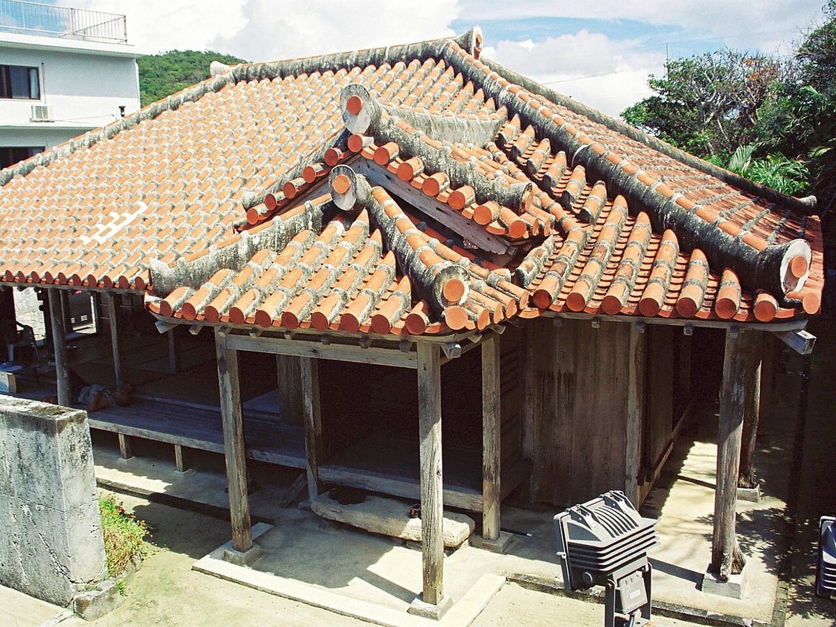
(A major cultural heritage of the home of the high house.) Papaya. The Kellama deer habitat.
Text adapted from the Japanese Wikipedia article 慶留間島, whose full text was translated into English for this guide by its contributors, licensed CC BY-SA 4.0. Population, area and location facts from Wikidata (CC0); figures Wikidata does not carry are taken from the Japanese Wikipedia article's data table (CC BY-SA 4.0).